Mapping Iroquoia: Cold City Frieze
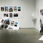
The works I have assembled for Mapping Iroquoia: Cold City Frieze emerged from what I turned my studio into—a map maker’s room. Each photograph is a way point along my journey to map Iroquoia.
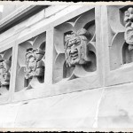
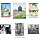
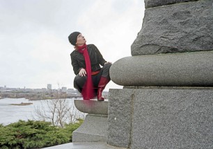
The show begins with my encounter, in 1992, with the Indian figure on the Samuel de Champlain monument in Ottawa. The summer of 1992 was marked by 500th anniversary celebrations of Christopher Columbus’s so-called “discovery of the New World.” I made my first cross-country road trip through the U.S. and Canada that year; my objective was to flip the concept of New World by approaching it from an indigenous photographic perspective. What I was not prepared for was the sense of cultural erasure and silence I encountered—“Indians” were, literally, “off the map.”
I returned to Kingston disillusioned, but shortly after was told about the Champlain monument in Ottawa and the life-sized Indian man kneeling at its base. As I walked up the steep hill to the monument, I was impressed by its grandeur, but also shocked by the positioning of the Indian figure and the fact that he appeared to be kneeling in subservience.
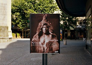
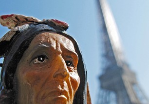
When I developed my photographs from the shoot, what immediately struck me was that the Indian man seemed so lonely—he was isolated on the pedestal far below the figure of Champlain and staring off into the distance. I felt a kinship with him as a nameless urban Indian. I realized then that a new road trip was in order, with the goal of finding others like him, thereby creating a “tribe” of Indian figures across the globe.
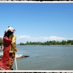
Also joining the tribe is Red Robe, who hits the road to see the world outside of Iroquoia, always collecting enough information so he can find his way back home. Red Robe becomes an avatar, one whose lineage is drawn from the Four Indian Kings, who travelled to England in 1710 to meet the Queen, and from Joseph Brant, who led the Iroquois from upper New York State to a new homeland at the Grand River in the 1780s—all are united by their distinctive red robes.
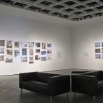
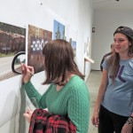
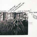
In two works—Cold City Frieze and Home/land & Security—I reference the map more literally by using the Hiawatha wampum belt as a prototype. The belt is, in its own way, a map of the Iroquois Confederacy and the tribes that agreed to join the Peacemaker’s path of peace. I also decided to continue my tagging project and displayed the unframed wampum belts panels and invited the opening night audience to tag the panels. But unlike the first tagging project at Studio 393, some of the university students defaced the panels. It led to a discussion as to whether the panels should be replaced and not offer any more tagging.
We decided to leave the panels up and see if the defacing continues, but the issue only worsened and two new panels were hung. I requested the original panels remain in the exhibition and crumple them leaving them partially attached and lying in the floor. A text panel was also added and described what had taken place.

